SL-FV 2 Lajares - Calderón Hondo
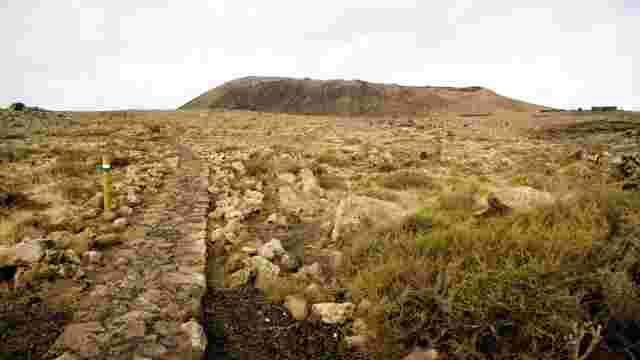
We will start this local trail at the football ground in Lajares. From here, our SL trail and the second stage of the GR 131 continue together for one kilometre, until the end of Calle Majanicho. The GR turns right onto Calle de Los Cascajos, heading towards Corralejo, whilst the SL continues north-east along a stony path. We will proceed along this stony path surrounded by sparse vegetation, consisting mainly of saltbush (Salsola spp.) and gorse (Launaea arborescens). Furthermore, at certain times of the year, we will see patches of reddish-purple colouration on both sides of the path, belonging to the nodding mesembryanthemum (Mesembryanthemum nodiflorum).
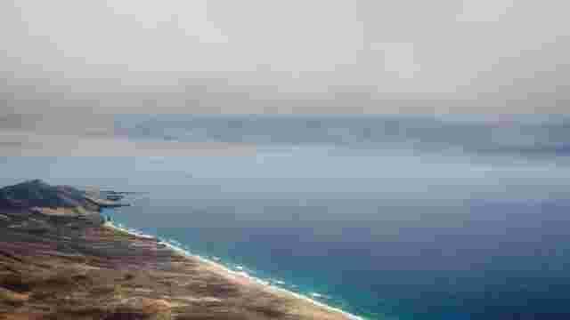
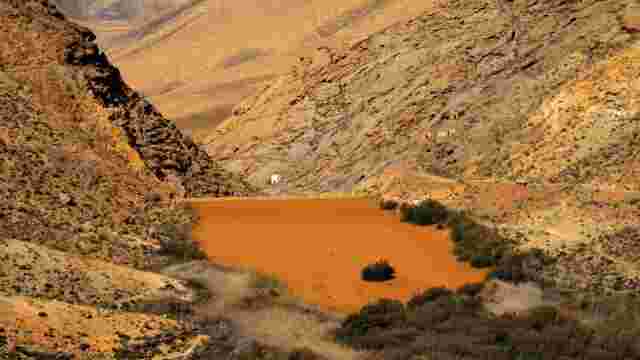
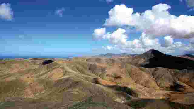
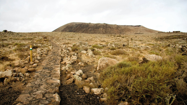
Before us rises Montaña Colorada, whose hollows on its slopes correspond to what was once a picón quarry. We will skirt this mountain and come upon Calderón Hondo, which is joined to Montaña Colorada to the north-west. A few metres further on, the path splits: to the left, the path leads to the summit of Calderón Hondo, which contains a 70-metre-deep crater; to the right, we continue along our local path, which takes us through the badlands to the foot of Caldera Rebanada, where the SL-FV 2 ends. At this point, we rejoin the second stage of the GR-131, so we have the option of returning to Lajares via this stage or retracing our steps along the same route. It is also possible to continue northwards until reaching Corralejo.