Vallebrón Protected Landscape
An area of outstanding natural beauty
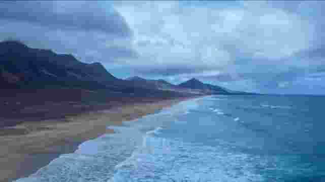
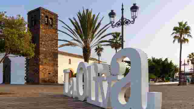
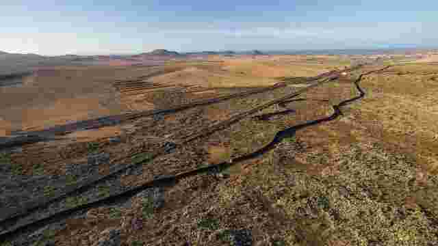
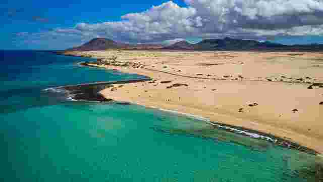
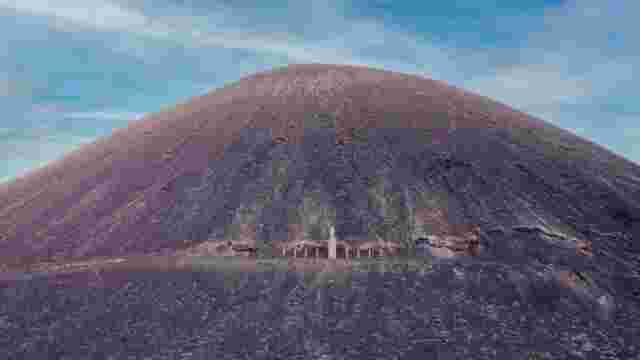
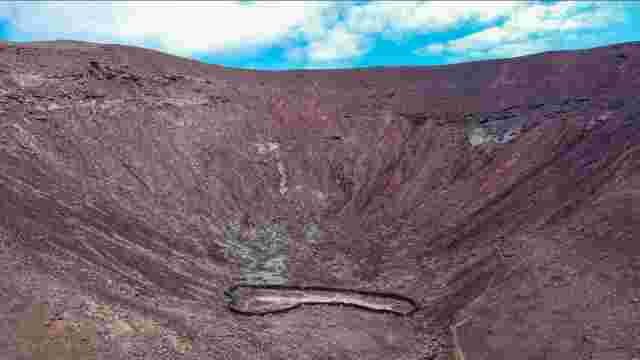
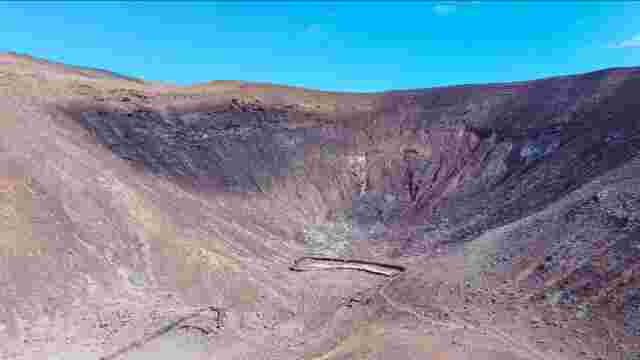
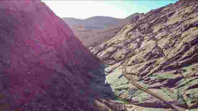
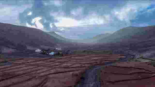
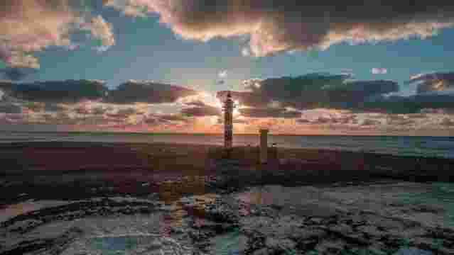
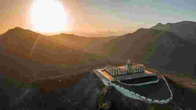
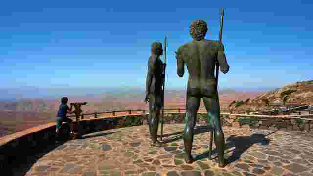
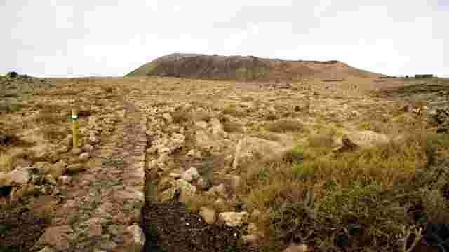
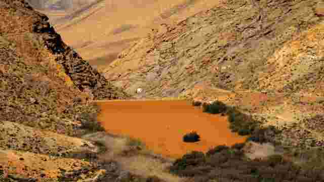
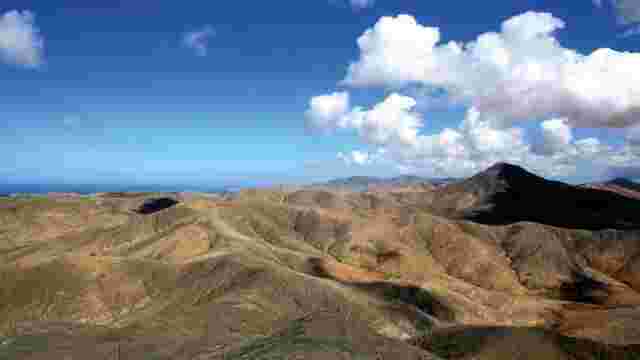
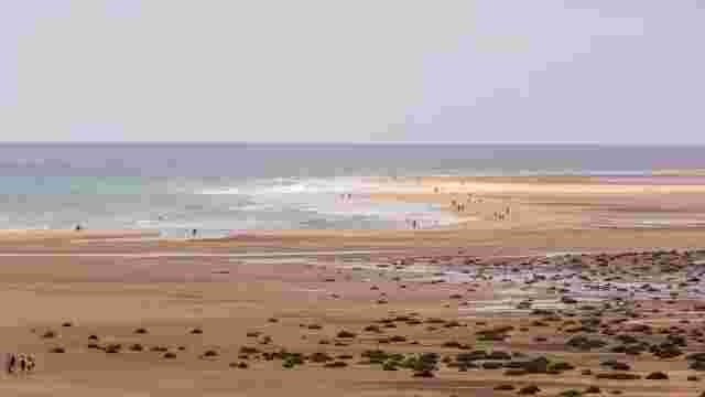
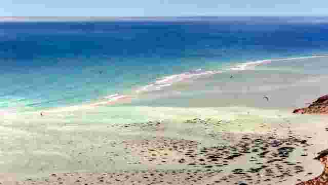
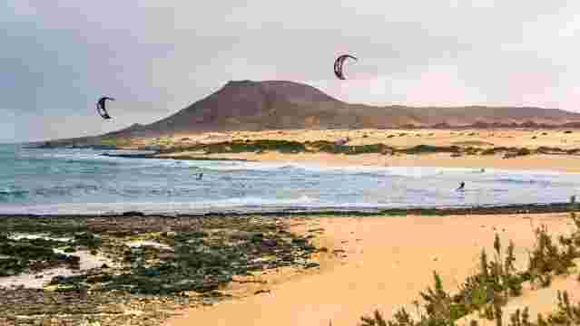
The Vallebrón Protected Landscape is situated between the municipalities of La Oliva and Puerto del Rosario, in the north of the island of Fuerteventura. It is a geomorphological unit representative of the island and of great scenic value. It covers an area of almost 1,680 hectares, accounting for 3.5% of the island’s protected area. Vallebrón features a landscape characterised by an elongated ridge with a knife-edge profile, flanked by two large U-shaped ravines, Valle Largo and Valle Chico. The southernmost point of the ridge is Montaña de la Muda, a site of historical interest due to its archaeological site featuring a distinctive burial system. To the south-west lies the village of Tindaya, flanked by Montaña Quemada to the south and Montaña de Tindaya to the north.
Flora and fauna of the area
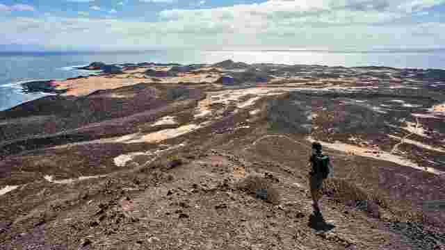
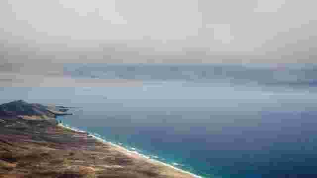
Vallebrón, standing at over 600 metres in height, is one of the highest points in the surrounding area, serving as a significant landmark for the territory it occupies. Below Montaña de la Muda lies the Mirador de la Degollada de Valle Grande, from where one can see Montaña de Tindaya, El Cotillo, Lajares and part of La Oliva. The flora of note in the area includes gorse, broom, hawthorn, wild tabaiba, prickly pear and asparagus, amongst others. As for the fauna, highlights include the Canarian hubara, the hoopoe, the kestrel, the stonechat, the Canarian wheatear, the turtle dove and the Atlantic lizard, amongst others.